时间:10月21日(周五):
参加方式:腾讯会议
点击链接入会,或添加至会议列表:
https://meeting.tencent.com/dm/0WloyBkNHxDg
ID:637-285-710
讲坛日程:
10:00-10:35 Assessing ecosystem dynamics and disturbances using Remote Sensing
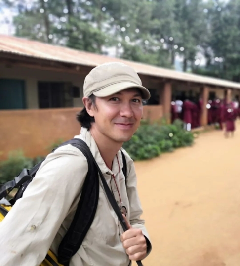
Eduardo Maeda, The University of Hong Kong
10:35-10:50 提问
10:50-11:25 基于激光雷达的森林冠层结构复杂性解析
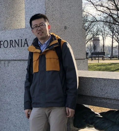
苏艳军, 中国科学院植物研究所
11:25-11:40 提问
Eduardo Maeda
个人简介:
Dr. Eduardo Maeda is a science enthusiast with particular interest in applying geospatial technology to understand the relations between nature and humans. He works as an Assistant Professor in the School of Biological Sciences, the University of Hong Kong. His current research focus on the investigation of environmental changes in terrestrial ecosystems, mainly using remote sensing and modelling tools. Dr. Maeda conducts experiments in forests throughout the globe, including in the Amazon, Kenya, Malaysia, as well as boreal forests in Finland.
报告题目:
Assessing ecosystem dynamics and disturbances using Remote Sensing
报告摘要:
Remote sensing is a powerful tool to reveal and monitor how ecosystems function, as well as to understand how humans are affecting natural environments. In this talk, Dr Eduardo Maeda will provide an overview of his most recent research applying remote sensing technology to monitor ecosystem dynamics and anthropogenic disturbances. Dr Maeda will take you in a tour around forests from four different continents, to demonstrate how tools such as satellite imagery, laser scanning and field based sensors can be combined to help us understand past, present and future environmental changes.
苏艳军
个人简介:
苏艳军,中科院植物所研究员,博士生导师,中科院人才计划入选者。主要研究方向为利用以激光雷达为主的遥感技术定量化探讨森林冠层结构及其空间格局,并分析人类活动和全球变化对陆地生态系统的影响。目前已在Remote Sensing Environment、ISPRS Journal of Photogrammetry and Remote Sensing等国际主流期刊发表论文70余篇。担任Geoscience Data Journal、《遥感学报》、《植物生态学报》等杂志的副主编或编委等学术职务,曾获得美国摄影测量学会“William A. Fischer Memorial Scholarship”、“李小文遥感科学青年奖”、中国自然资源协会“青年科技奖”等奖项。
报告题目:
基于激光雷达的森林冠层结构复杂性解析
报告摘要:
森林冠层是生物圈与大气圈进行能量交换与物质循环的主要介质,其中冠层内部枝干与叶片的空间分布,即森林冠层结构复杂性,可以协同物种多样性来调控森林生态系统功能。因此,解析森林冠层结构复杂性、物种多样性、森林生态系统功能三者间的关系对理解森林生态系统过程、制定森林管理与恢复政策至关重要。近些年快速发展的近地面激光雷达技术(如地基、背包和无人机等)为森林精细三维冠层结构信息的获取提供了新途径,但是如何使用多平台近地面激光雷达数据来定量化森林结构复杂性仍是一个难题。本报告将系统介绍如何从多平台激光雷达数据中定量化森林冠层结构复杂性,并探讨森林冠层结构复杂性如何耦合物种多样性来影响森林生产力。